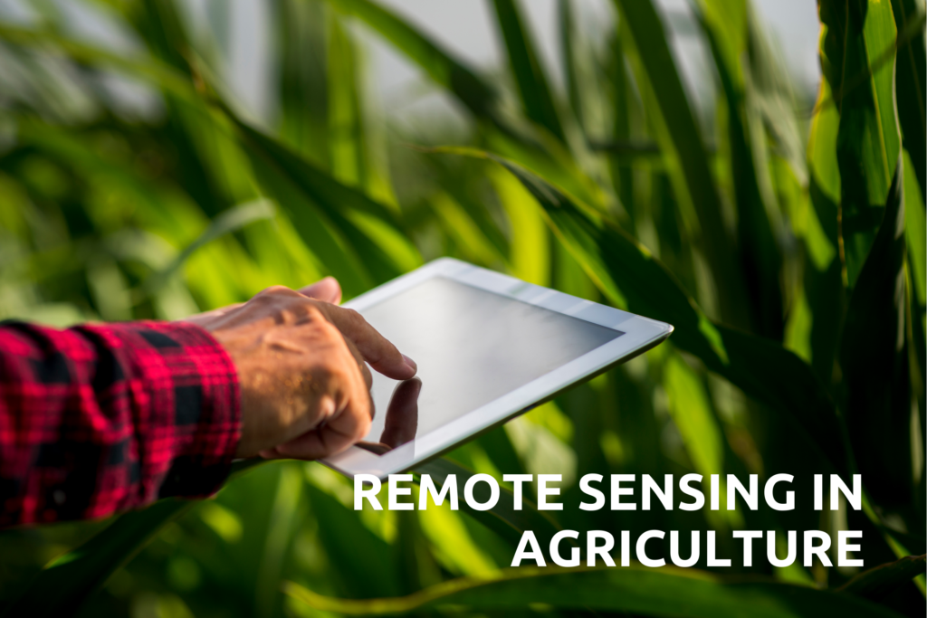
Remote Sensing in Agriculture :
Remote sensing in agriculture involves the use of various technologies to gather information about crops, soil, and other agricultural features from a distance. It can help farmers make informed decisions about irrigation, pest control, soil management, and other aspects of farming.
What is Remote Sensing for Crops :
Remote sensing involves the use of satellite images to monitor and analyze crop conditions over time. This data allows growers to make informed decisions to enhance crop yield. For instance, sensors can alert growers to potential issues, such as disease outbreaks, enabling early intervention. They can also assist with tasks such as plant counting, evaluating plant health, estimating yield, managing irrigation, detecting weeds, identifying crop stress, and mapping fields.
Types of remote sensing technologies used in agriculture:
- Satellite Imagery: Satellite imagery involves capturing images of the Earth’s surface using satellites orbiting the planet. These images can be used to monitor crop health, identify pests and diseases, assess soil moisture, and track changes in land use. Satellite imagery is useful for large-scale agricultural monitoring and analysis.
- Drone Imagery: Drones, also known as unmanned aerial vehicles (UAVs), are small, remote-controlled aircraft equipped with cameras or other sensors. They can capture high-resolution images of fields and crops from different angles and altitudes. Drone imagery is useful for smaller-scale agricultural monitoring and analysis, as well as for capturing real-time data.
- Hyperspectral Imaging: Hyperspectral imaging involves capturing images of crops and soil in many narrow, adjacent wavelengths of light. This allows researchers to identify subtle differences in crop health, soil composition, and other factors that may not be visible to the naked eye or traditional cameras. Hyperspectral imaging is useful for precision agriculture and monitoring specific crop traits.
- Lidar (Light Detection and Ranging): Lidar involves sending laser pulses from an aircraft or satellite to the Earth’s surface and measuring the time it takes for the pulses to return. This can create detailed 3D maps of the terrain, which can be used to assess slope, elevation, and other topographical features that affect crop growth and water management. Lidar is useful for precision agriculture and soil erosion assessment.
- Thermal Imaging: Thermal imaging involves capturing images of crops and soil based on their temperature. This can be useful for identifying areas of crop stress, such as water or nutrient deficiencies, as well as for monitoring soil moisture and irrigation efficiency. Thermal imaging is useful for precision agriculture and water management.
- GPS (Global Positioning System): GPS involves using satellites to determine the precise location of agricultural equipment and crop monitoring devices. This can be useful for creating maps of fields, tracking the movement of machinery, and integrating remote sensing data with other types of agricultural data. GPS is useful for precision agriculture and field mapping. Benefits of remote sensing in agriculture :
• Early detection of crop stress.
• Optimized irrigation management.
• Yield prediction and crop monitoring
• Monitoring environmental impact.

Pingback: what is MSP in agriculture